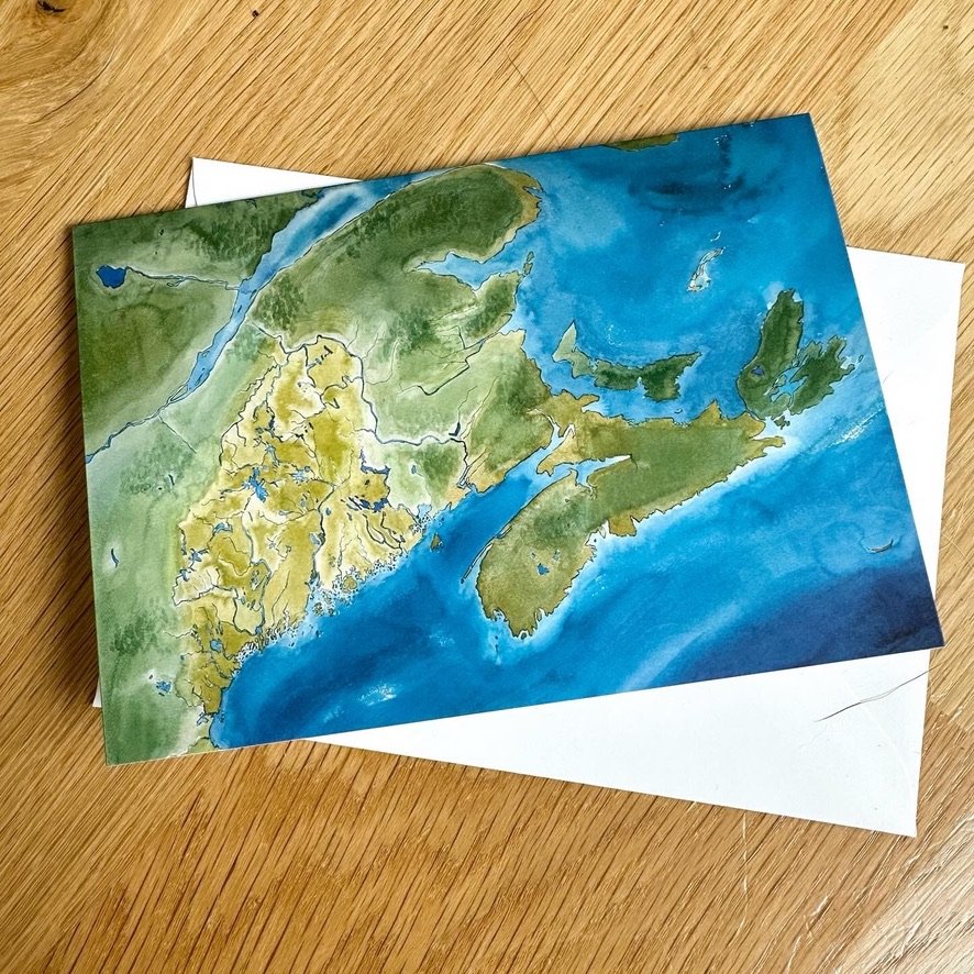
Dawnland and the waterways of Maine
This project began as a way to support the Wabanaki Studies curriculum developed and implemented in the Portland Public Schools as of 2023. It was to feature the main waterways of Maine to help teach the traditional Wabanaki travel routes. The region of Dawnland was to be included without any state or country borders. However, in order to help orientate students, color was used to generally place the state of Maine within the region.

The poster version in use in Tyler Jellison's classroom, a 9th grade social studies teacher at Deering High School in Portland, Maine.

The Portland Museum of Art requested to use the map to welcome their visitors to their newly renovated exhibit, “Passages in American Art,” which features many narratives and historical truths previously unrepresented in ‘American Art,’ including those of Native Americans.