Why Newfoundland?
Jack, an historian at Rutgers University, wanted an image of the Northwest Atlantic that could help convey the sense of place and mental maps of 16th century fishing industry. An image that could be used for publications and presentations.
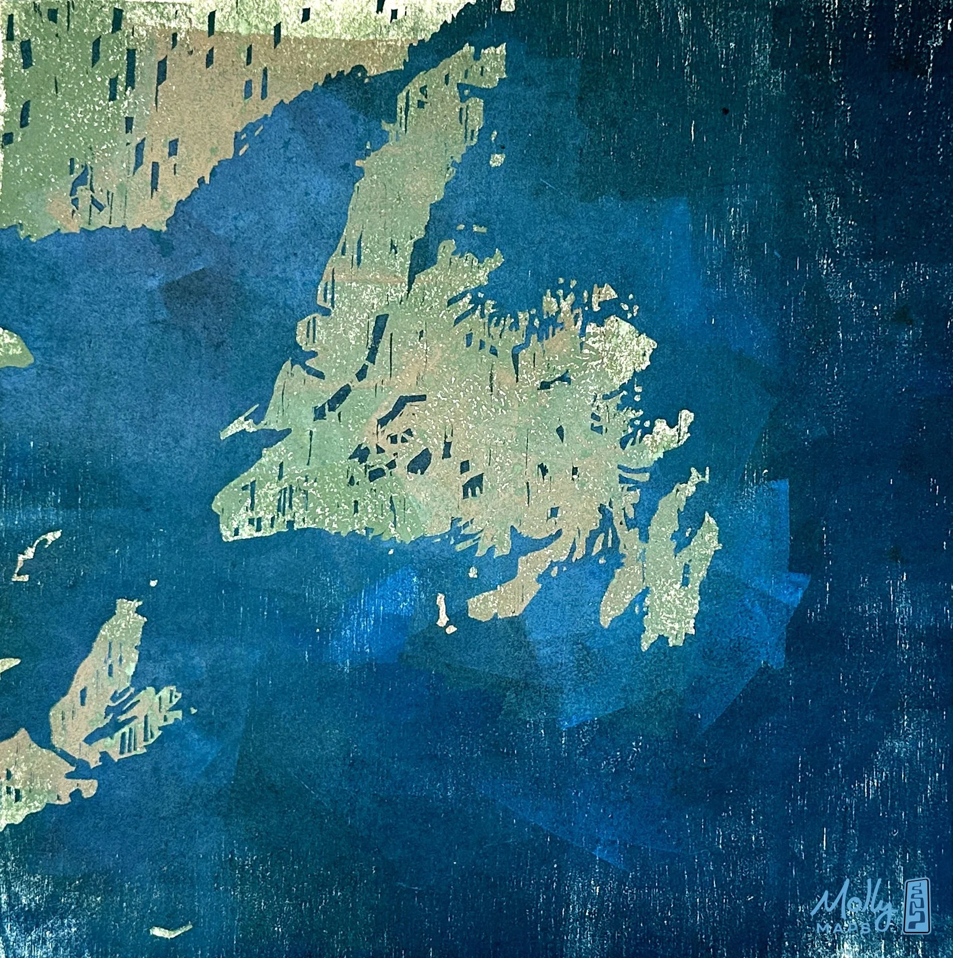
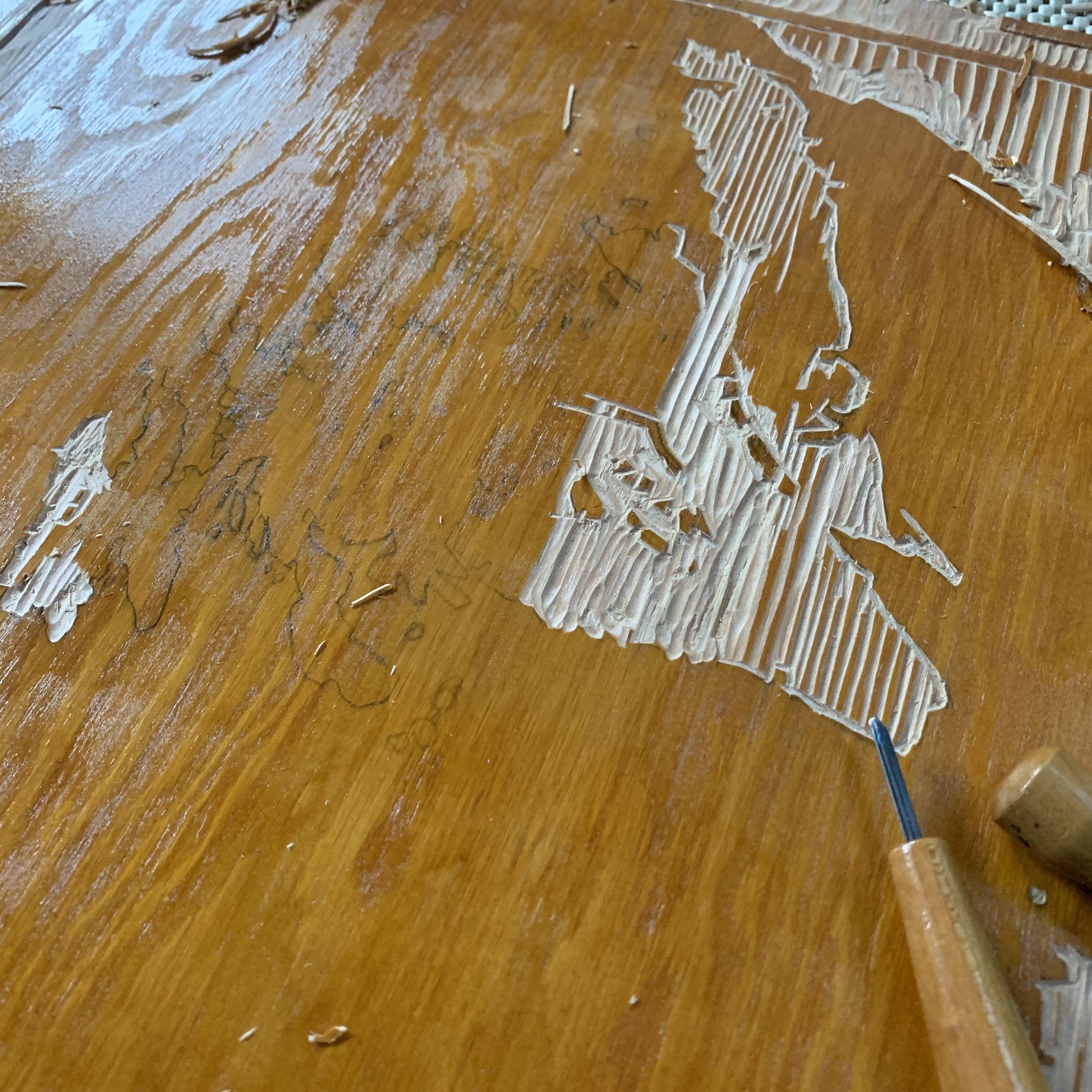
We decided on the bold contrast of a custom woodcut monoprint, which also offers multiple originals in many colors.


Pulling an original map monoprint off of a printing press.
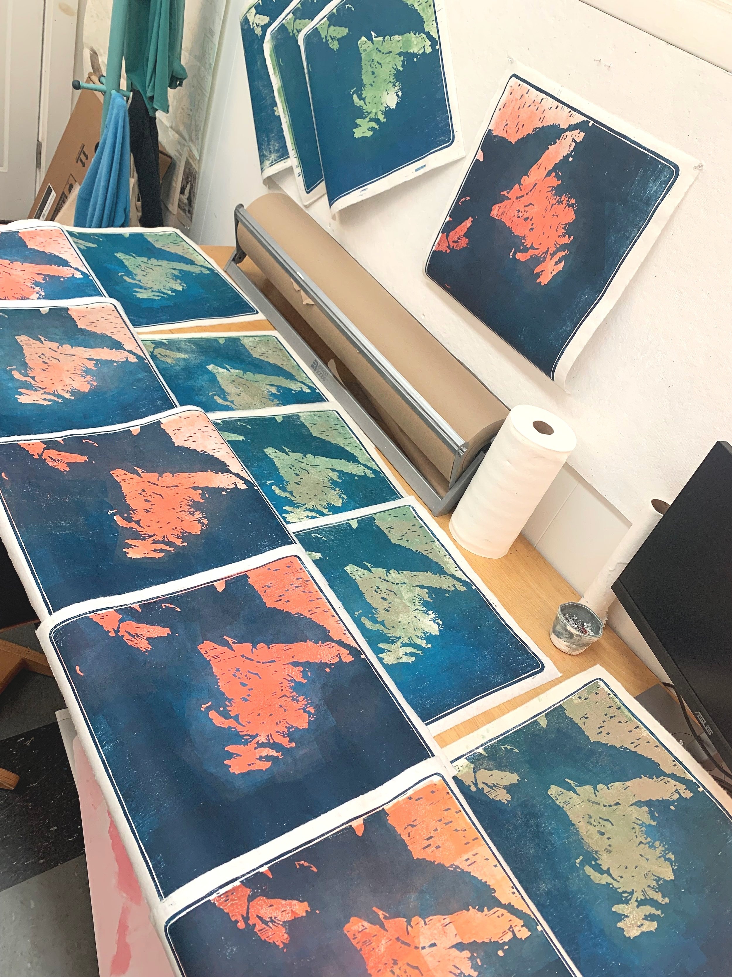
Jack and I settled on two sets of prints- one with land tones of earthy green and one with coral reds. Each background (land colors) are hand rolled on each paper individually, making every piece an original that fills rich and alive.
He had his pick of any map image and any original to take home and frame. The images below were his top picks. :)
If you are interested in an original yourself-
I have some left!
Click below to check them out.